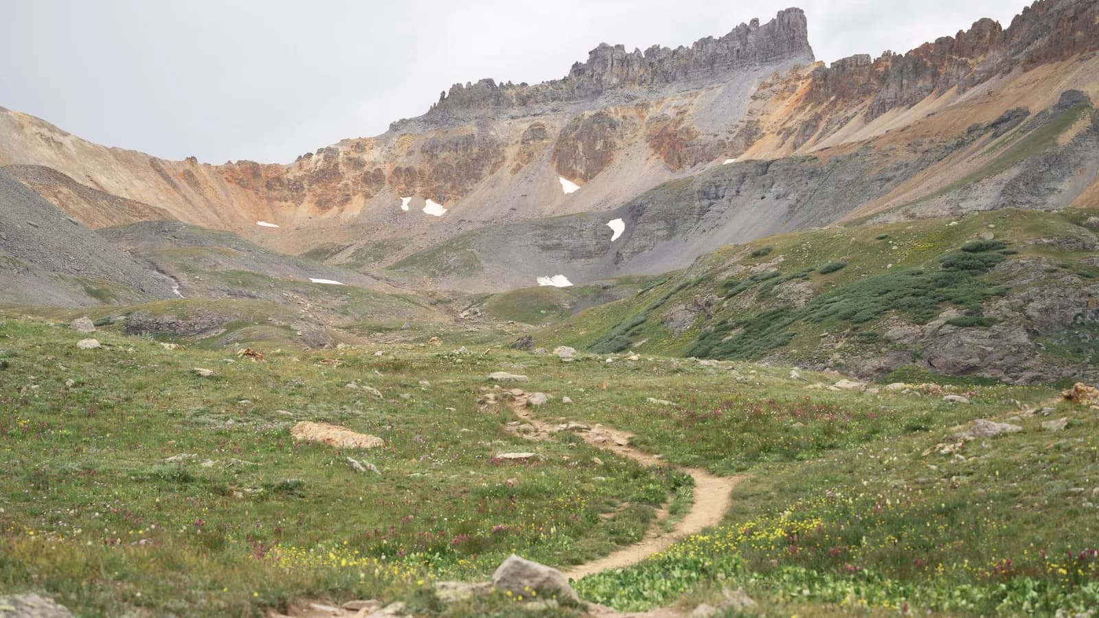
01 · Day one · 12 km · +1,010 m
Col du Bonhomme
Valley floor to the first col. All of it on a made path, and the only day you could turn round.
Meridian Routes / One route, twelve departures
Eighty-four kilometres and 3,670 metres of ascent between two valleys, carrying a day pack. No camping, no support vehicle, and a group of eight because nine does not fit in the small refuge on night four.
See the routeConcept work — fictional brand, built to demonstrate technique. Nothing is for sale.
A walking holiday is a line on a map. Everything else — the hut, the dinner, the bag moved forward to the next valley — is logistics, and logistics is not why anyone books. So the line is the first thing on this page, drawn rather than described, and the last thing we would ever put behind a form.
Travel and tours
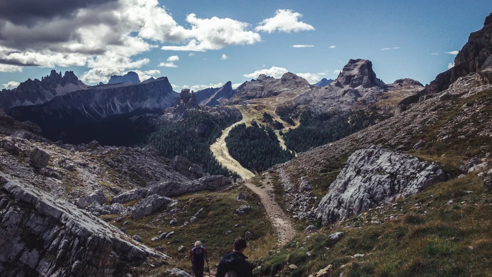
Scroll, and you walk it. The page advances at a constant speed in kilometres rather than in sections, so the long flat second day really does take longer to get through than the short steep third one; the altitude beside you climbs and falls as the ground does, the photograph changes when you arrive somewhere new, and the profile fills in behind you. By the bottom you will know which day is the hard one without having read that it is.
01 · Day one · 12 km · +1,010 m
Valley floor to the first col. All of it on a made path, and the only day you could turn round.
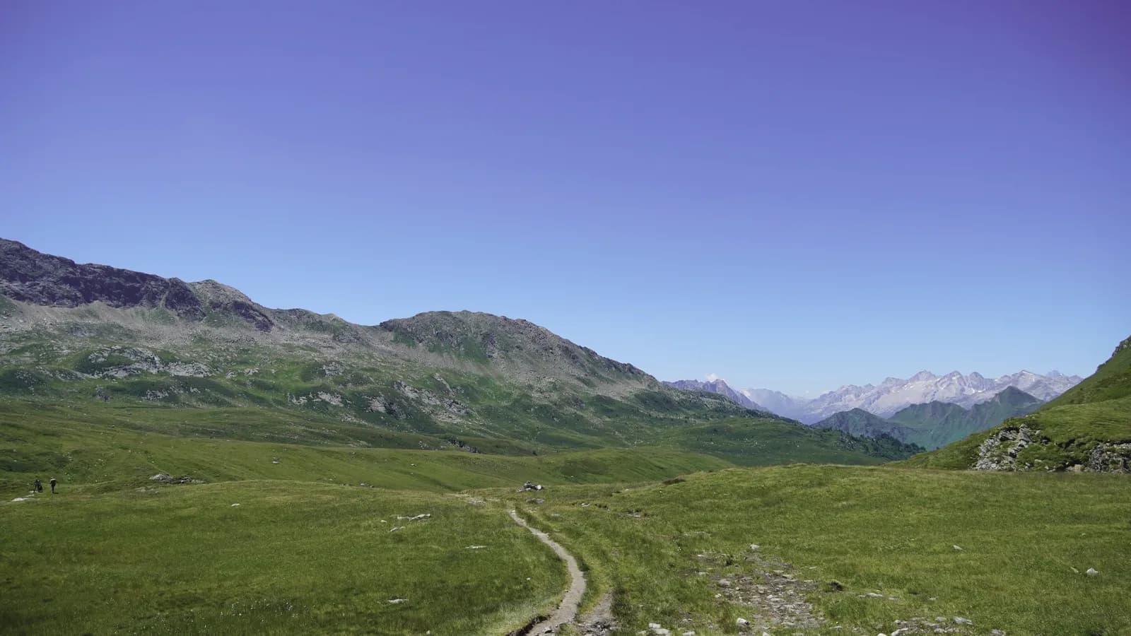
02 · Day two · 16 km · +430 m
Over the shoulder at 2,620 and back down to the refuge. The most ground covered, the least height kept.
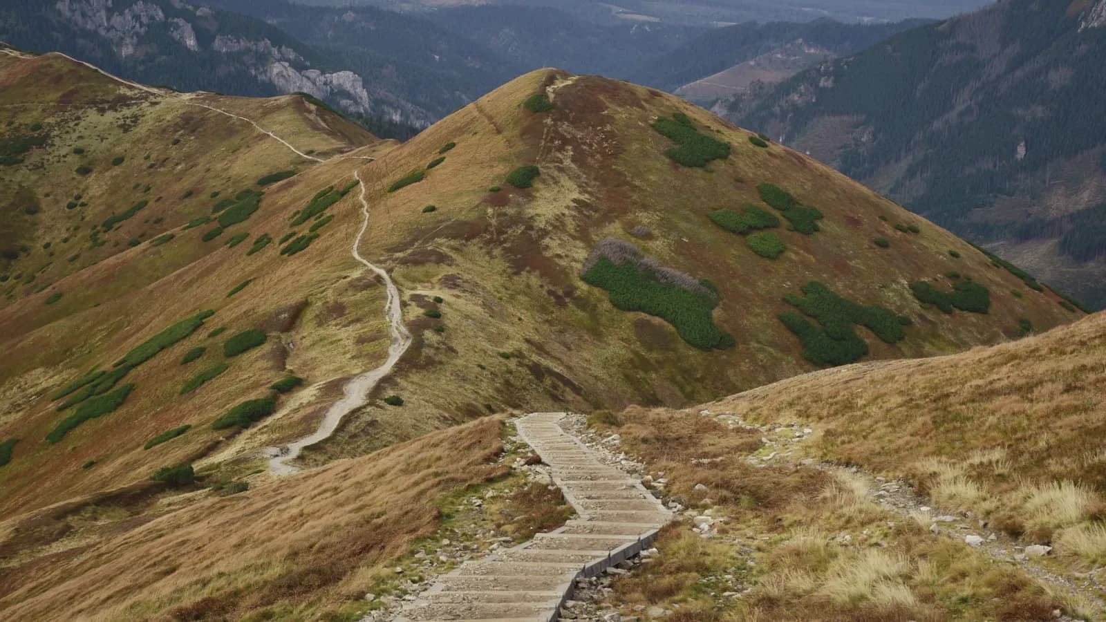
03 · Day three · 9 km · +340 m
Down four hundred metres to the lake, then up the other side in the afternoon. The short day, deliberately.
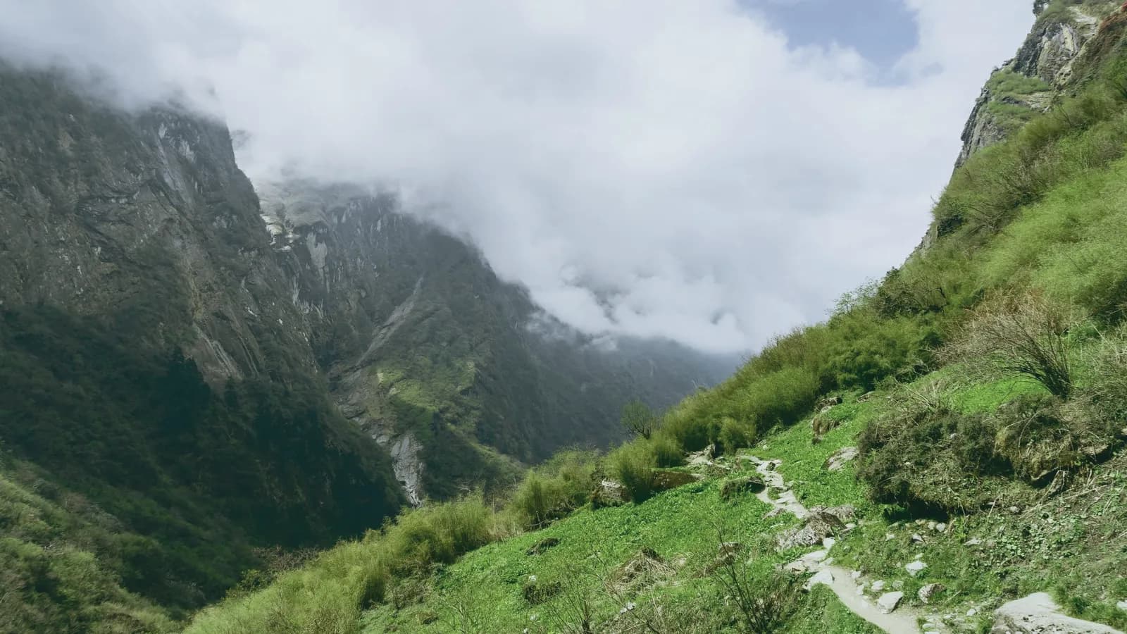
04 · Day four · 13 km · +1,100 m
Down to the stream at 1,840, then eleven hundred metres up to the high point. Cabled for thirty metres near the top.
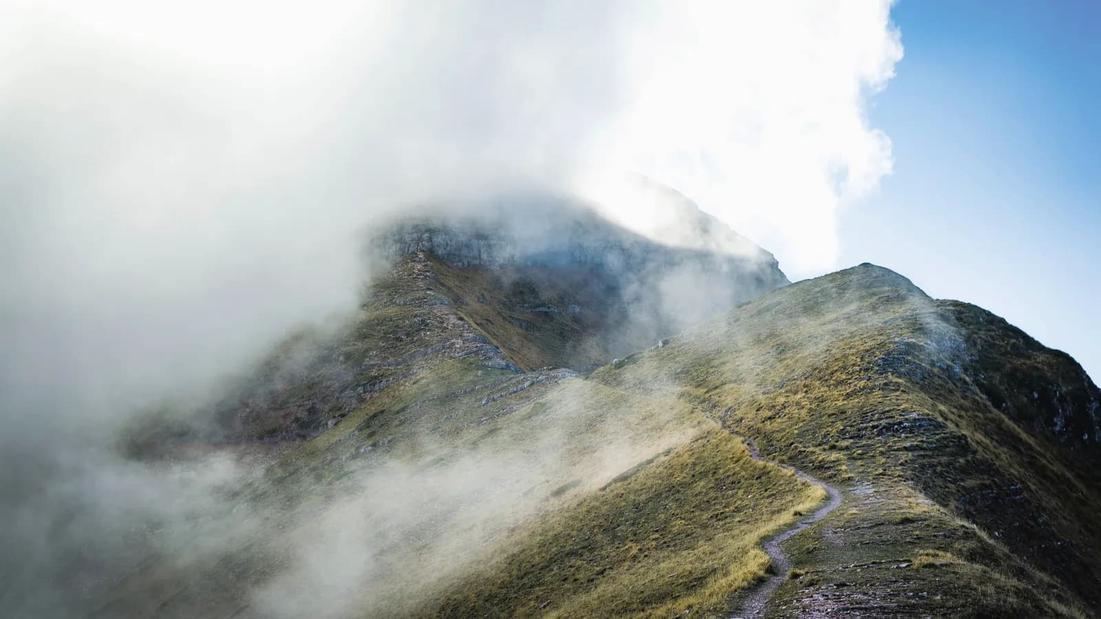
05 · Day five · 19 km · +640 m
Off the crest, across the shelf at 2,050, and back up to the hut. Crampons carried, rarely worn before late September.
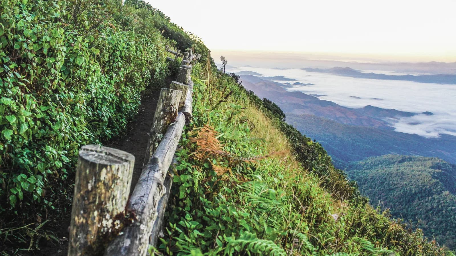
06 · Day six · 15 km · +150 m
One last rise to the notch at 2,840, then fifteen hundred metres down to the valley and the bus. Knees, not lungs.
01
Col du Bonhomme
Valley floor to the first col. All of it on a made path, and the only day you could turn round.
12 km · +1,010 m
02
Refuge de la Croix
Over the shoulder at 2,620 and back down to the refuge. The most ground covered, the least height kept.
16 km · +430 m
03
Lac Vert
Down four hundred metres to the lake, then up the other side in the afternoon. The short day, deliberately.
9 km · +340 m
04
Brèche du Nord
Down to the stream at 1,840, then eleven hundred metres up to the high point. Cabled for thirty metres near the top.
13 km · +1,100 m
05
Cabane d’Orny
Off the crest, across the shelf at 2,050, and back up to the hut. Crampons carried, rarely worn before late September.
19 km · +640 m
06
Val Ferret
One last rise to the notch at 2,840, then fifteen hundred metres down to the valley and the bus. Knees, not lungs.
15 km · +150 m
Four refuges and one hotel. Bunk rooms of six to fourteen, dinner at seven whether you are in or not, and no charging points above the second night.
Night one
The largest and the least interesting. Forty beds, a road behind it, and the only night you could walk out if you changed your mind.
Night three
Fourteen bunks in one room and a guardian who has run it for twenty-two seasons. Bring earplugs; we are not being funny.
Night five
The small one, and the reason the group is eight. Above the cloud more nights than not, which is worth the climb on its own.
Twelve a year, June to September. The June dates cross more snow and see fewer people; September is drier and the huts are quieter after the first week.
| Departure | Dates | Status | Price |
|---|---|---|---|
| June 14 | Early season | Snow on the Brèche · axe provided | £1,240 |
| June 28 | Early season | Two places left | £1,240 |
| July 12 | High season | Full | £1,390 |
| July 26 | High season | Full | £1,390 |
| August 09 | High season | Four places | £1,390 |
| August 23 | High season | Six places | £1,390 |
| September 06 | Late season | Driest fortnight of the year | £1,290 |
| September 20 | Late season | Last departure · huts close the 28th | £1,190 |
Day four
It is the one that decides whether this route is for you: eleven hundred metres of ascent, a cabled section, and no way off the ridge between the two huts. Everything either side of it is a walk.
Ask us about day fourConcept work — fictional brand, built to demonstrate technique. Nothing is for sale.